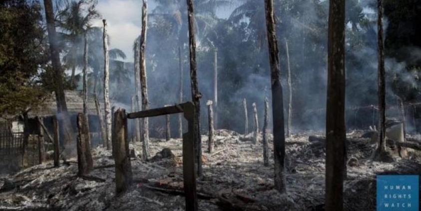
The New York based Human Rights Watch have issued a report claiming that satellite imagery and on the ground interviews with refugees support allegations that places “responsibility for burnings of Rohingya villages in Burma’s Rakhine State squarely with the Burmese military.”
Human Rights Watch’s statement issued on 13 December said that “since October 9, 2016, at least 1,500 buildings have been destroyed, driving thousands of ethnic Rohingya from their homes.”
HRW demanded in their statement that “military and government officials should immediately allow humanitarian agencies, the media, and human rights monitors access to all of Rakhine State’s Maungdaw Township.”
HRW said that despite the government continued denials of its abuse of Rohingya villages, HRW said that satellite images has put responsibility for the arson on the government’s military.
“The new findings refute the Burmese military and government’s claims that Rohingya militants were responsible for burning down their own villages,” said Brad Adams, Asia director at Human Rights Watch.
Mr Adams added that “the satellite imagery and eyewitness interviews clearly point the finger at the military for setting these buildings ablaze.”
HRW said that the “new satellite imagery analysis of villages in Maungdaw Township reveals four new elements. First, the total number of destroyed buildings identified by Human Rights Watch has climbed to 1,500 as of November 23. The full number is probably higher as tree cover may have concealed some destroyed buildings.”


